


REMOTE SENSING IN FORESTRY


Applications of remote sensing in forestry
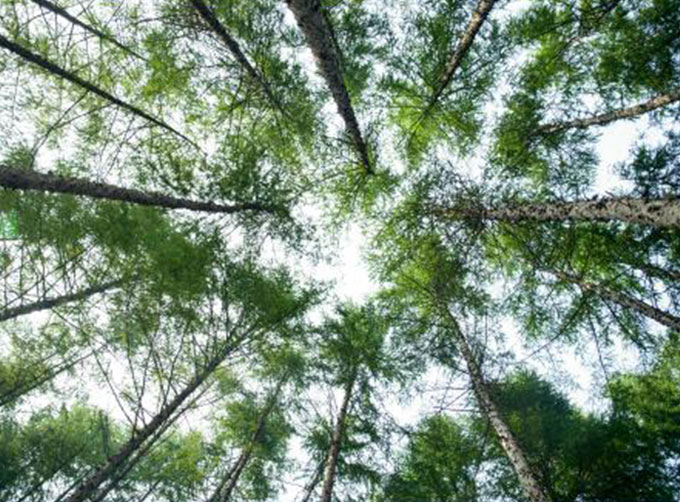
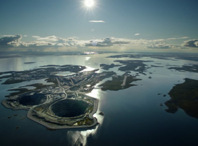
Remote sensing in forestryis a technology that uses the inherent characteristics of electromagnetic waves reflected or radiated by objects to identify objects and their environments by studying the characteristics of electromagnetic waves. It is called forestry remote sensing to monitor the growth of forest trees and forecast forest pests and diseases.
Jilin satellite, as an excellent satellite services company,offers a wide range of satellite for you to choose from.
在线联系供应商
Other supplier products
 |
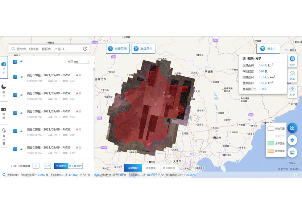
Satellite Remote Sensing | Remote sensing is a non-contact, long-distance detection technology. Relying on the unique global data set of JL1, using our big data intelligence ... |
 |
REMOTE SENSING IN FORESTRY | Remote sensing in forestryis a technology that uses the inherent characteristics of electromagnetic waves reflected or radiated by objects to ident... |
 |
INSURANCE SATELLITE REMOTE SENSING | Combining satellite and remote sensingtechnologies with rights confirmation data and land parcel segmentation technology can vectorize and spatiali... |
 |
SATELLITE DATA MANAGEMENT | DATA MANAGEMENT SYSTEM SATELLITE DATA MANAGEMENT FEATURES 1 The data management system is the center of the storage, management and applicatio... |
 |
INSURANCE SATELLITE REMOTE SENSING | Combining satellite remote sensing technologies with rights confirmation data and land parcel segmentation technology can vectorize and spatialize ... |
Same products
 |
PHOTOGRAMMETRY REMOTE SENSING | 卖方: Chang Guang Satellite Technology Co., Ltd. | Photogrammetry remote sensingis to obtain reliable information about the earth, its environment a... |
 |
MARINE REMOTE SENSING | 卖方: Chang Guang Satellite Technology Co., Ltd. | MARINE REMOTE SENSING Ocean colour remote sensingrefers to remote sensing that takes the ocean a... |
 |
NIGHT SATELLITE IMAGE | 卖方: Chang Guang Satellite Technology Co., Ltd. | The SP and GF03C satellites of JL1 constellection can conduct fast shooting with high-resolutions... |
 |
MULTISPECTRAL IMAGES IN REMOTE SENSING | 卖方: Chang Guang Satellite Technology Co., Ltd. | Multispectral remote sensing refers to the multispectral data remote sensingtechnology that divid... |
 |
MULTI SPECTRAL IMAGERY | 卖方: Chang Guang Satellite Technology Co., Ltd. | The GP satellites of JL1 constellection have 26 spectral channels, covering optical remote sensin... |


