


MARINE REMOTE SENSING


Oceanographic Applications of Remote Sensing
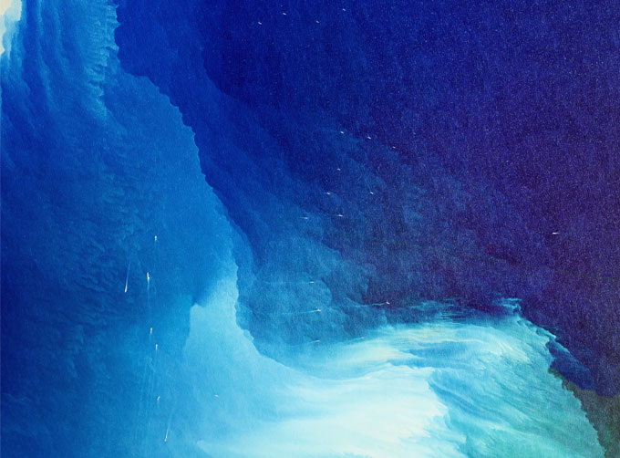
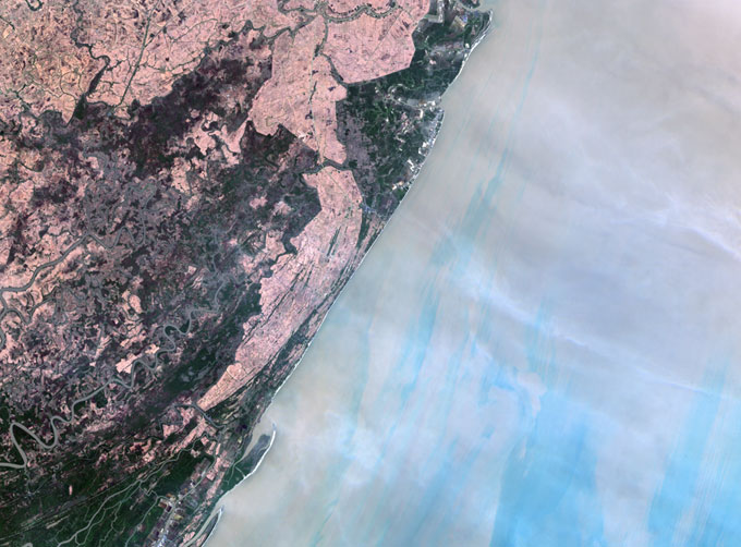
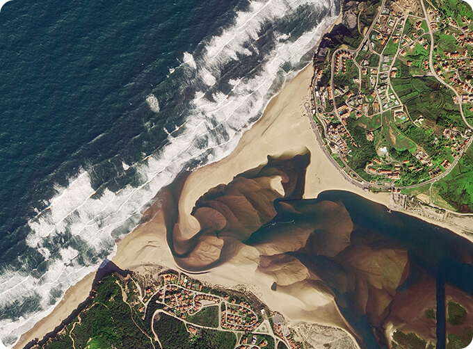
Ocean color remote sensing refers to remote sensing that takes the ocean and coastal zone as the monitoring and research object, including physical oceanography
satellite remote sensing, biological oceanography and chemical remote sensing oceanography. Ocean remote sensing uses sensors to carry out long-distance non-contact observation of the ocean to obtain images or data of the marine landscape and marine elements.
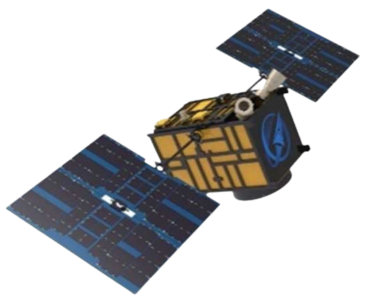
Jilin 1 satelliteconstellation is the core project under construction by CGSTL. The first phase of the project consists of 138 high-performance optical remote sensing satellites covering video, high resolution, wide band, infrared, multispectral and other series.
Send product request
Other supplier products
 |
JL1 Satellite Manufacturing Product | Based on "the integration of satellite-borne" and other core technologies, CGSTL has set up the commercial business dealing with the development an... |
 |
SATELLITE GROUND SYSTEMS | The mission of the ground satellitesystem is to track, measure and control the earth resources satellite, implement functional management, and rece... |
 |
MULTI SPECTRAL IMAGERY | Multispectral Image Data The GP satellites of JL1 constellection have 26 spectral channels, covering optical remote sensing data from visible ligh... |
 |
SATELLITE GROUND SYSTEMS | The mission of the ground satellitesystem is to track, measure and control the earth resources satellite, implement functional management, and rece... |
 |
PUSH BROOM SCANNING SERVICE | The massive imagery archieved data and task programming data that cover all over the world captured by JL1constellation. Great view and great detai... |
Same products
 |
PHOTOGRAMMETRY REMOTE SENSING | Seller: Chang Guang Satellite Technology Co., Ltd. | Photogrammetry remote sensingis to obtain reliable information about the earth, its environment a... |
 |
MARINE REMOTE SENSING | Seller: Chang Guang Satellite Technology Co., Ltd. | MARINE REMOTE SENSING Ocean colour remote sensingrefers to remote sensing that takes the ocean a... |
 |
NIGHT SATELLITE IMAGE | Seller: Chang Guang Satellite Technology Co., Ltd. | The SP and GF03C satellites of JL1 constellection can conduct fast shooting with high-resolutions... |
 |
MULTISPECTRAL IMAGES IN REMOTE SENSING | Seller: Chang Guang Satellite Technology Co., Ltd. | Multispectral remote sensing refers to the multispectral data remote sensingtechnology that divid... |
 |
MULTI SPECTRAL IMAGERY | Seller: Chang Guang Satellite Technology Co., Ltd. | The GP satellites of JL1 constellection have 26 spectral channels, covering optical remote sensin... |


