SATELLITE REMOTE SENSING IN AGRICULTURE


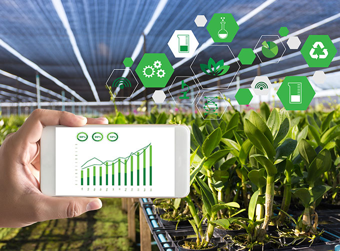
Satellite remote sensing in agriculturerefers to the comprehensive technology of agricultural applications such as using agriculture satellite technologyto investigate agricultural resources, analyzing land using status, monitoring agricultural pests and diseases, as well as estimating crop yields.
CONTENT OF AGRICULTURAL REMOTE SENSING SERVICE PRODUCT SYSTEM OF CGSTL
|
Product name |
Service frequency |
|
|
1 |
Distribution of cultivated land resources and agricultural facilities |
Once a year |
|
2 |
Crop planting structure monitoring |
Once/crop season |
|
3 |
Crop growth monitoring |
Once/ten days |
|
4 |
Farmland soil moisture and crop drought monitoring |
Once/ten days |
|
5 |
Agricultural disaster monitoring |
On demand |
|
6 |
Crop yield prediction |
Once/crop season |
Chang GuangSatellite Technology Co., Ltd. is a satellite supplier, we provide agriculture satellite imagery, satellite imaging in agriculture, agriculture land images, agriculture satellite images, agriculture images, satellite imagery in agriculture, satellite in agriculture, agriculture satellite data, satellite communication service, etc. For more information, please feel free to contact us!
在线联系供应商
Other supplier products
 |
Services | Bioanalytical Service Bioanalytical Service for Small Molecule Drugs and Metabolites, Large Molecules – Peptides and Proteins, etc. LCMSMS Q... |
 |
SATELLITE IMAGE MONITORING | Change remote sensing monitoringuses multi-temporal remote sensing data, a variety of image processing and pattern recognition methods to extract c... |
 |
SATELLITE REMOTE SENSING IN AGRICULTURE | SATELLITE REMOTE SENSING IN AGRICULTURE Agricultural remote sensing refers to the comprehensive technology of agricultural applications such as us... |
 |
CUBESAT PLATFORM | The satellite platform can provide carrying services for the user's payload. 12U Cubesat Platform Non-standard 6U cube satellitePlatform F... |
 |
Satellite Hardware | The satellite communication hardwares of CGSTL mainly consist of satellite products, CubeSat platform, satellite cameras, standalone products, and ... |
Same products
 |
PHOTOGRAMMETRY REMOTE SENSING | 卖方: Chang Guang Satellite Technology Co., Ltd. | Photogrammetry remote sensingis to obtain reliable information about the earth, its environment a... |
 |
MARINE REMOTE SENSING | 卖方: Chang Guang Satellite Technology Co., Ltd. | MARINE REMOTE SENSING Ocean colour remote sensingrefers to remote sensing that takes the ocean a... |
 |
NIGHT SATELLITE IMAGE | 卖方: Chang Guang Satellite Technology Co., Ltd. | The SP and GF03C satellites of JL1 constellection can conduct fast shooting with high-resolutions... |
 |
MULTISPECTRAL IMAGES IN REMOTE SENSING | 卖方: Chang Guang Satellite Technology Co., Ltd. | Multispectral remote sensing refers to the multispectral data remote sensingtechnology that divid... |
 |
MULTI SPECTRAL IMAGERY | 卖方: Chang Guang Satellite Technology Co., Ltd. | The GP satellites of JL1 constellection have 26 spectral channels, covering optical remote sensin... |