Aerial UAV—Control Survey


TheAerial UAVis to ensure the accuracy ofaerialtriangulationand determine the absolute position of objects in space.In the conventional low altitude digital aerial photogrammetry external specification, the layout of control points is specified in detail, which is the basis for ensuring the accuracy of large scale mapping. The technique of oblique photograph requires higher image overlap than traditional photography, and the requirement of image control point layout is not suitable for high resolution unmanned aerial UAV oblique photogrammetry. Aerial UAV usually adopts GPS positioning mode, and has POS data itself. It plays a significant role in determining the relative position between images, and can improve the accuracy of empty three computation.
1Conventionalthree-dimensionalmodeling
Based on the Smart 3D algorithm, a control interval can be provided from the angle of the finalaerial triangulationfeature point-cloud. The proposed value is to set a control point at every 20000~40000 pixels, in which the difference POS data (relatively accurate initial value) can be relaxed to 40000 pixels, and at least 20000 pixels of the differential POS data are set. At the same time, it should be applied flexibly according to the actual terrain and terrain conditions of each task, such as very large terrain undulating, large area vegetation and surface water features very few, and need to increase the control point. The measurement of control points adopts attached traverse measurement to get high-precision location information.
2Safeguard of emergency surveying and mapping
After the earthquake, landslides, debris flow and other natural disasters, in order to obtain thedisaster area’s three-dimensional data, we can not control the measurement according to the traditional operation mode.By reading the coordinates of the Google map, the handedGPS measurement, and the RTK measurement, the few control points of the disaster area can be quickly obtained, and the real three-dimensional model of the disaster area can be generatedtoprovide assistance for post-disaster relief.
3 The selection requirements of point location
The target image of the image control point should be clear,and select the place where the spot is easy to be identified, is fixed and easy to measure.When the condition is available, we can make the mark point of the control point of thefield workfirst, usually choose the white (or red) paint to mark thecross sign, andtestseveral images before the aerial photographyto ensure that the cross sign can be correctly identified on theobliqueimage. After the control point measurement is completed, it is necessary to make the control point distribution map in time, control the spot information table, accurately describe the location and position information of each control point, and facilitate the use of the internal pricking points.
Hot Products
Industry drone T2
VTOL Fixed Wing Drone T20
Agriculture Spraying Drone T1-10L Naza
Send product request
Other supplier products
 |
Industry drone T2 | TheAerial UAVis to ensure the accuracy ofaerialtriangulationand determine the absolute position of objects in space.In the conventional low altitud... |
 |
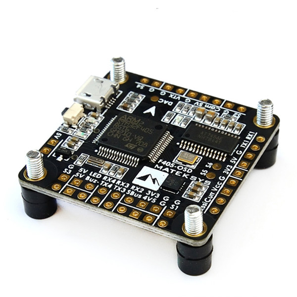
Racing Drone Flight Controller OMNIBUS F4 OSD | Current and voltage sensors Super-Fast Operating Speed Built-in BEC & OSD Full carbon fiber made Small(er) Size Product Description Best F4 Fl... |
 |
Industry Drone T2 Flight Controller | Multi-rotor Flight Controller Highly Reliable Components Intelligent Avionics System Distributed Design Product Description T2 | Best Multicopte... |
 |
Racing Drone Flight Controller OMNIBUS F4 OSD | F4 Flight Controller This version of the Flip32 AIO uses improved components and design that will properly limit the voltage to the Mini OSD prev... |
 |
F4 Flight Controller | This version of the Flip32 AIO uses improved components and design that will properly limit the voltage to the Mini OSD preventing voltage spike an... |
Same products
 |
M10 Solar Cell | Seller: Sunrise Energy Co., Ltd | M10 solar cell, compared with the existing product span, equipment, process, auxiliary material m... |
 |
G12 SERIES SOLAR MODULES | Seller: Sunrise Energy Co., Ltd | The Zeus series has enhanced module density and significantly increased module power and efficien... |
 |
Solar Cells | Seller: Sunrise Energy Co., Ltd | The solar cell can directly convert light energy into electrical energy through photoelectric eff... |
 |
PV SYSTEMS | Seller: Sunrise Energy Co., Ltd | On Grid PV system Self-generation, surplus power online, monthly income from electricity sales... |
 |
ON GRID SOLAR PANEL | Seller: Sunrise Energy Co., Ltd | What is a grid connected pv system The generated electricity will be fed into the grid, and the ... |