MULTI SPECTRAL IMAGERY


Multispectral Image Data
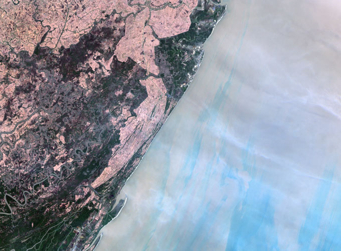
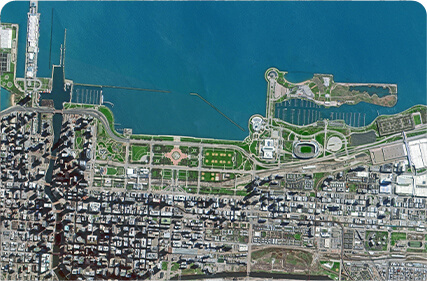
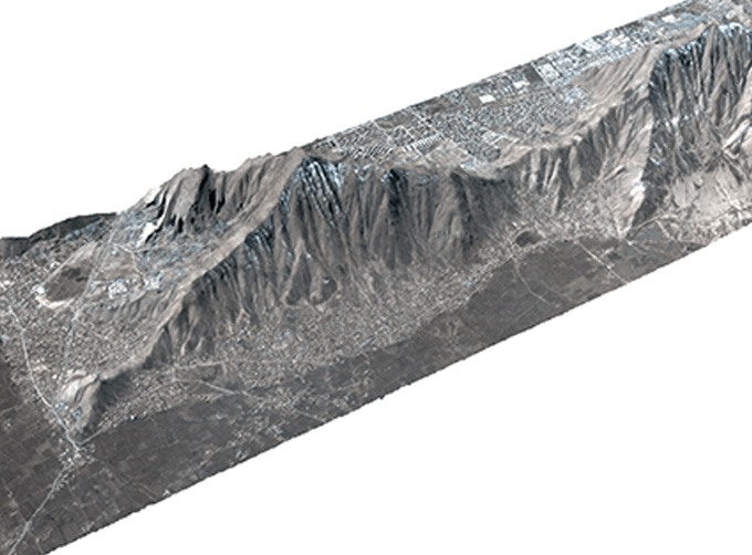
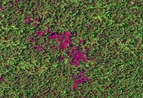
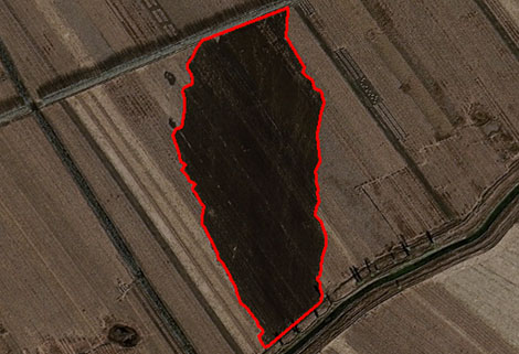
The GP satellites of JL1 constellection have 26 spectral channels, covering optical remote sensing data from visible light to long wave infrared.
FeaturesofMultispectral and Hyperspectral
MULTISPECTRAL DATA PARAMETERS
|
Indicators |
Parameter |
|
Substar point ground pixel resolution |
Visible light near infrared:5m; Shortwave/Mediumwave infrared camera:100m; Longwave infrared camera:150m |
|
Spectral bands |
B0:450nm-800nm B1:403nm-423nmB2:433nm-453nm B3:450nm-515nmB4:525nm-600nm B5:630nm-680nm B6:784.5nm-899.5nm B7:485nm-495nm B8:615nm-625nm B9:650nm-680nm B10:698.75nm-718.75nm B11:732.5nm-747.5nmB12:773nm-793nm B13:855nm-875nm B14:660nm-670nm B15:677.5nm-685nm B16:750nm-757.5nm B17:758.75nm-762.75nmB18:935nm-955nm B19:1000nm-1040nm SW1:1195nm-1225nm SW2:1360nm-1390nm SW3:1550nm-1590nm SW4:1610nm-1690nmMW:3700nm-4950nm LW:7500nm~13500nm |
|
Standard scene size (at nadir) |
Visible light near infrared:58.7km×58.7kmShortwave/Mediumwave infrared camera:64km×64kmLongwave infrared camera: 96km×96km |
|
Positioning accuracy |
50m (CE90) |
|
Photographic mode |
Push-broom |
|
Photographic satellite |
GP01; GP02 |
As a satellite factory, we can offer kinds of satellite data productsfor sale, if you have needs, please contact us.
Send product request
Other supplier products
 |
Satellite Hardware | The satellite communication hardwares of CGSTL mainly consist of satellite products, CubeSat platform, satellite cameras, standalone products, and ... |
 |
STEREO SATELLITE DATA | The data of SP or GF satellites of JL1 constellection can be used as stereoscopic mapping to produce DSM results with resolution better than 1m. ... |
 |
Satellite Remote Sensing | Satellite Remote Sensing Remote sensing is a non-contact, long-distance detection technology. Relying on the unique global data set of JL1, using ... |
 |
SATELLITE REMOTE SENSING IN AGRICULTURE | SATELLITE REMOTE SENSING IN AGRICULTURE Agricultural remote sensing refers to the comprehensive technology of agricultural applications such as us... |
 |
REMOTE SENSING IN ENVIRONMENT | remote sensing in environmentis a general term for monitoring, evaluating and forecasting the dynamic changes of the natural and social environment... |
Same products
 |
PHOTOGRAMMETRY REMOTE SENSING | Seller: Chang Guang Satellite Technology Co., Ltd. | Photogrammetry remote sensingis to obtain reliable information about the earth, its environment a... |
 |
MARINE REMOTE SENSING | Seller: Chang Guang Satellite Technology Co., Ltd. | MARINE REMOTE SENSING Ocean colour remote sensingrefers to remote sensing that takes the ocean a... |
 |
NIGHT SATELLITE IMAGE | Seller: Chang Guang Satellite Technology Co., Ltd. | The SP and GF03C satellites of JL1 constellection can conduct fast shooting with high-resolutions... |
 |
MULTISPECTRAL IMAGES IN REMOTE SENSING | Seller: Chang Guang Satellite Technology Co., Ltd. | Multispectral remote sensing refers to the multispectral data remote sensingtechnology that divid... |
 |
MULTI SPECTRAL IMAGERY | Seller: Chang Guang Satellite Technology Co., Ltd. | The GP satellites of JL1 constellection have 26 spectral channels, covering optical remote sensin... |