
SATELLITE IMAGE PROCESSING TECHNIQUES


SATELLITE IMAGE PROCESSING TECHNIQUES
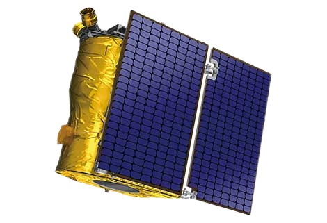
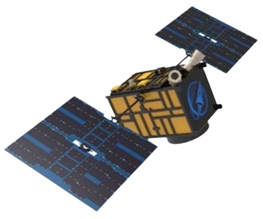
SATELLITE IMAGE ACQUISITION SYSTEM
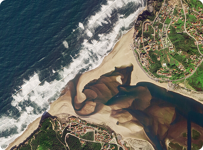
SATELLITE IMAGES FOR IMAGE PROCESSINGFEATURES
1
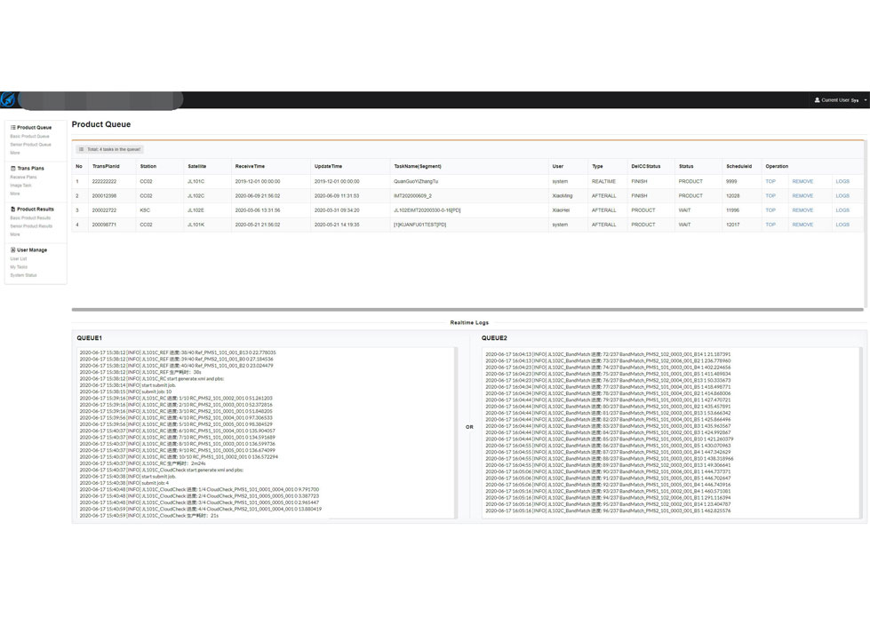
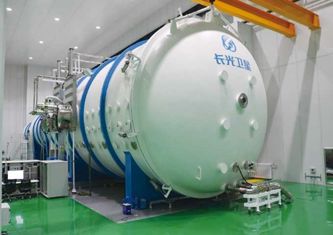
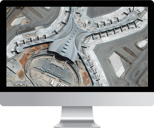
Satellite image processingsystem is the core of preprocessing of satellite imagesafter landing.
2
The system decrypts and decompresses the received original code stream data, completes the analysis and processing of auxiliary data, and then catalogues the data.
If you want to know more details of image processing of satellite images, please visit our website.
CGSTL (ChangguangSatellite Technology Co., Ltd) is the first commercial remote sensing satellitesupplier in China. Now, CGSTL has set up a commercial business dealing with the development and operation of commercial satellites as well as remote sensing information processing all in one.
Send product request
Other supplier products
 |
Satellites Testing Services | The satellite communication testingservices of CGSTL mainly consist of optical manufacture, small satellite testing, and customized service. SAT... |
 |
PUSH BROOM SCANNING SERVICE | The massive imagery archieved data and task programming data that cover all over the world captured by Jilin 1constellation. Great view and great d... |
 |
Satellite Hardware | The satellite communication hardwares of CGSTL mainly consist of satellite products, CubeSat platform, satellite cameras, standalone products, and ... |
 |
JL1 Satellite Manufacturing Product | Based on "the integration of satellite-borne" and other core technologies, CGSTL has set up the commercial business dealing with the development an... |
 |
JL1 Satellite Services | The technical index and function mode in terms of satellites research are taking the leading position in the world. Various satellite services such... |
Same products
 |
PHOTOGRAMMETRY REMOTE SENSING | Seller: Chang Guang Satellite Technology Co., Ltd. | Photogrammetry remote sensingis to obtain reliable information about the earth, its environment a... |
 |
MARINE REMOTE SENSING | Seller: Chang Guang Satellite Technology Co., Ltd. | MARINE REMOTE SENSING Ocean colour remote sensingrefers to remote sensing that takes the ocean a... |
 |
NIGHT SATELLITE IMAGE | Seller: Chang Guang Satellite Technology Co., Ltd. | The SP and GF03C satellites of JL1 constellection can conduct fast shooting with high-resolutions... |
 |
MULTISPECTRAL IMAGES IN REMOTE SENSING | Seller: Chang Guang Satellite Technology Co., Ltd. | Multispectral remote sensing refers to the multispectral data remote sensingtechnology that divid... |
 |
MULTI SPECTRAL IMAGERY | Seller: Chang Guang Satellite Technology Co., Ltd. | The GP satellites of JL1 constellection have 26 spectral channels, covering optical remote sensin... |