


SATELLITE GROUND SYSTEMS


The mission of the ground satellitesystem is to track, measure and control the earth resources satellite, implement functional management, and receive, record and process the image data sent back by the satellite.
Satellite Image Processing Techniques
Satellite Data SystemManagement
Satellite Mission Planning
Emergency Satellite Communications Product
Customized Satellite Ground Systems
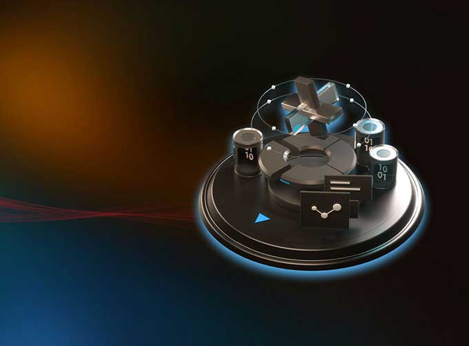
FEATURES OF SATELLITE GROUND SYSTEMS
Connecting satellites and spacecraft to earth.
If you want to know more details of ground station in satellite communication, please contact us.
CGSTL (ChangguangSatellite Technology Co., Ltd) is the first commercial remote sensing satellite supplier in China. Now, CGSTL has set up a commercial business dealing with the development and operation of commercial satellites as well as remote sensing information processing all in one.
Отправить запрос, связаться с поставщиком
Другие товары поставщика
 |
Satellite Remote Sensing | Satellite Remote Sensing Remote sensing is a non-contact, long-distance detection technology. Relying on the unique global data set of JL1, using ... |
 |
CUBESAT PLATFORM | Cubesat for Sale The cube satellite platform can provide carrying services for the user's payload. 12U Cubesat Platform Non-standard 6U Cubesat... |
 |
INSURANCE SATELLITE REMOTE SENSING | Combining satellite and remote sensingtechnologies with rights confirmation data and land parcel segmentation technology can vectorize and spatiali... |
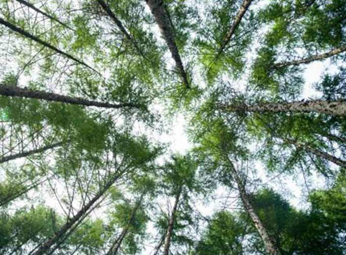 |
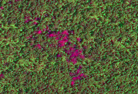
REMOTE SENSING IN FORESTRY | Applications of remote sensing in forestry Remote sensing in forestryis a technology that uses the inherent characteristics of electromagnetic wav... |
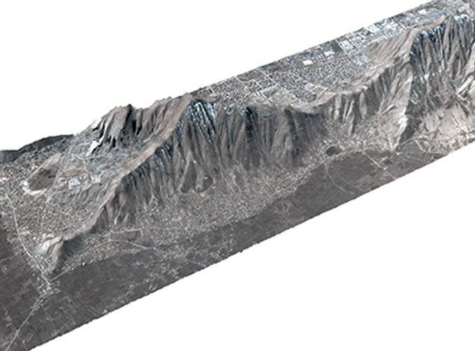 |
STEREO SATELLITE DATA | The data of SP or GF satellites of JL1 constellection can be used as stereoscopic mapping to produce DSM results with resolution better than 1m. ... |
Похожие товары
 |
PHOTOGRAMMETRY REMOTE SENSING | Продавец: Chang Guang Satellite Technology Co., Ltd. | Photogrammetry remote sensingis to obtain reliable information about the earth, its environment a... |
 |
MARINE REMOTE SENSING | Продавец: Chang Guang Satellite Technology Co., Ltd. | MARINE REMOTE SENSING Ocean colour remote sensingrefers to remote sensing that takes the ocean a... |
 |
NIGHT SATELLITE IMAGE | Продавец: Chang Guang Satellite Technology Co., Ltd. | The SP and GF03C satellites of JL1 constellection can conduct fast shooting with high-resolutions... |
 |
MULTISPECTRAL IMAGES IN REMOTE SENSING | Продавец: Chang Guang Satellite Technology Co., Ltd. | Multispectral remote sensing refers to the multispectral data remote sensingtechnology that divid... |
 |
MULTI SPECTRAL IMAGERY | Продавец: Chang Guang Satellite Technology Co., Ltd. | The GP satellites of JL1 constellection have 26 spectral channels, covering optical remote sensin... |


