
REMOTE SENSING IN FORESTRY

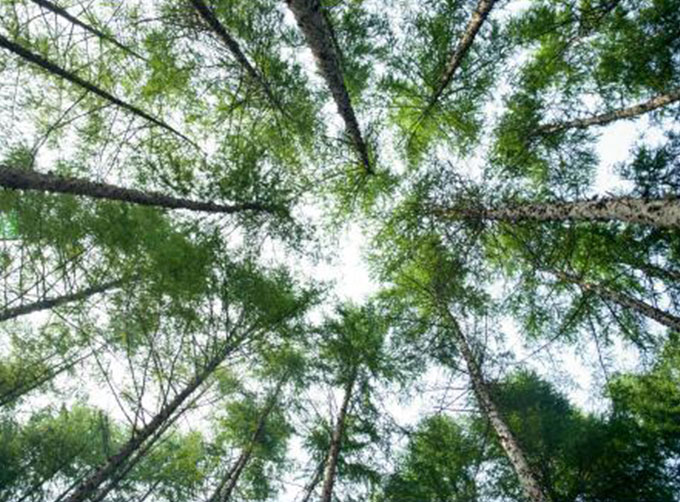

Remote sensing in forestryis a technology that uses the inherent characteristics of electromagnetic waves reflected or radiated by objects to identify objects and their environments by studying the characteristics of electromagnetic waves. It is called forestry remote sensing to monitor the growth of forest trees and forecast forest pests and diseases.
CONTENT OF FORESTRY REMOTE SENSING SERVICE PRODUCT SYSTEM OF CGSTL
|
Product name |
Service content |
Service frequency |
|
|
1 |
Distribution and change monitoring of forestry resources |
Spatial distribution of forest types and forest land change monitoring |
Once a year |
|
2 |
Forest vegetation growth monitoring |
Monitoring the growth of forest land such as planted forest and economic forest |
Once a quarter |
|
3 |
Forest fire early warning and monitoring |
Carry out forest fire risk assessment of township administrative units |
Once a day |
|
Carry out nationwide high-frequency identification of fire point by satellite remote sensing |
Once per 10 minutes |
||
|
Forest fire emergency monitoring via Jilin 1 satelliteconstellation |
On demand |
||
|
4 |
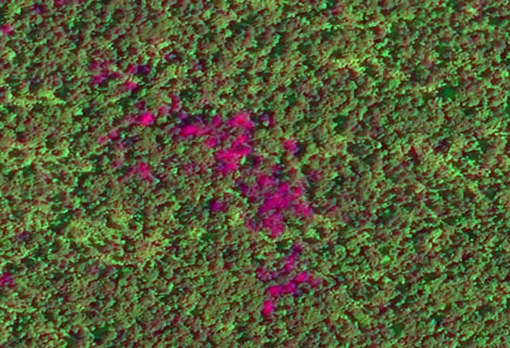
Sky ground cooperative remote sensing monitoring of dead and discolored standing trees |
Conduct the general survey of dead and discolored standing trees by the means of “space-sky-ground” coordination, wherein conducting general investigation by satellite, detailed survey by UAV and on-the-spot verification on the ground. |
On demand |
If you want to know more application of remote sensing in forestry, please visit our website.
If you want to know more satelliteservices, please leave us a message.
Send product request
Other supplier products
 |
SATELLITE IMAGE PROCESSING TECHNIQUES | SATELLITE IMAGE PROCESSING TECHNIQUES SATELLITE IMAGE ACQUISITION SYSTEM SATELLITE IMAGES FOR IMAGE PROCESSINGFEATURES 1 Satellite image pr... |
 |
INSURANCE SATELLITE REMOTE SENSING | Combining satellite and remote sensingtechnologies with rights confirmation data and land parcel segmentation technology can vectorize and spatiali... |
 |
Satellite Remote Sensing | Satellite Remote Sensing Remote sensing is a non-contact, long-distance detection technology. Relying on the unique global data set of JL1, using ... |
 |
SATELLITE GROUND SYSTEMS | The mission of the ground satellitesystem is to track, measure and control the earth resources satellite, implement functional management, and rece... |
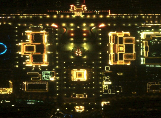 |
NIGHT SATELLITE IMAGE | Satellite View of Earth at Night The SP and GF03C satellites of JL1 constellection can conduct fast shooting with high-resolutions and multispectr... |
Same products
 |
PHOTOGRAMMETRY REMOTE SENSING | Seller: Chang Guang Satellite Technology Co., Ltd. | Photogrammetry remote sensingis to obtain reliable information about the earth, its environment a... |
 |
MARINE REMOTE SENSING | Seller: Chang Guang Satellite Technology Co., Ltd. | MARINE REMOTE SENSING Ocean colour remote sensingrefers to remote sensing that takes the ocean a... |
 |
NIGHT SATELLITE IMAGE | Seller: Chang Guang Satellite Technology Co., Ltd. | The SP and GF03C satellites of JL1 constellection can conduct fast shooting with high-resolutions... |
 |
MULTISPECTRAL IMAGES IN REMOTE SENSING | Seller: Chang Guang Satellite Technology Co., Ltd. | Multispectral remote sensing refers to the multispectral data remote sensingtechnology that divid... |
 |
MULTI SPECTRAL IMAGERY | Seller: Chang Guang Satellite Technology Co., Ltd. | The GP satellites of JL1 constellection have 26 spectral channels, covering optical remote sensin... |