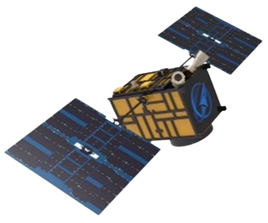
SATELLITE REMOTE SENSING IN AGRICULTURE


Satellite remote sensing in agriculturerefers to the comprehensive technology of agricultural applications such as using agriculture satellite technologyto investigate agricultural resources, analyzing land using status, monitoring agricultural pests and diseases, as well as estimating crop yields.
CONTENT OF AGRICULTURAL REMOTE SENSING SERVICE PRODUCT SYSTEM OF CGSTL
|
Product name |
Service frequency |
|
|
1 |
Distribution of cultivated land resources and agricultural facilities |
Once a year |
|
2 |
Crop planting structure monitoring |
Once/crop season |
|
3 |
Crop growth monitoring |
Once/ten days |
|
4 |
Farmland soil moisture and crop drought monitoring |
Once/ten days |
|
5 |
Agricultural disaster monitoring |
On demand |
|
6 |
Crop yield prediction |
Once/crop season |
Chang GuangSatellite Technology Co., Ltd. is a satellite supplier, we provide agriculture satellite imagery, satellite imaging in agriculture, agriculture land images, agriculture satellite images, agriculture images, satellite imagery in agriculture, satellite in agriculture, agriculture satellite data, satellite communication service, etc. For more information, please feel free to contact us!
Отправить запрос, связаться с поставщиком
Другие товары поставщика
 |
MULTISPECTRAL IMAGES IN REMOTE SENSING | Multispectral Remote Sensing Applications hyperspectral and multispectral remote sensingrefers to the remote sensing technology that divides the e... |
 |
PHOTOGRAMMETRY REMOTE SENSING | Photogrammetry remote sensingis to obtain reliable information about the earth, its environment and other natural objects and processes by using sa... |
 |
SATELLITE CAMERAS | Satellite Cameras Specialized devices that take high-quality images from space. 5m-resolution Multispectral Camera 2m-resolution Micro-nano Ca... |
 |
SATELLITE DATA MANAGEMENT | DATA MANAGEMENT SYSTEM SATELLITE DATA MANAGEMENT FEATURES 1 The data management system is the center of the storage, management and applicatio... |
 |
MULTI SPECTRAL IMAGERY | Multispectral Image Data The GP satellites of JL1 constellection have 26 spectral channels, covering optical remote sensing data from visible ligh... |
Похожие товары
 |
JL1 Satellite Manufacturing Product | Продавец: Chang Guang Satellite Technology Co., Ltd. | Based on "the integration of satellite-borne" and other core technologies, CGSTL has set up the c... |
 |
Satellites Testing Services | Продавец: Chang Guang Satellite Technology Co., Ltd. | The satellite communication testing services of CGSTL mainly consist of optical manufacture, sate... |
 |
SATELLITE TESTING SERVICE | Продавец: Chang Guang Satellite Technology Co., Ltd. | A key test satelliteprocedure in qualifying a satellite for launch. Component-level Thermal-vacu... |
 |
JL1 Satellite Services | Продавец: Chang Guang Satellite Technology Co., Ltd. | The technical index and function mode in terms of satellites research are taking the leading posi... |
 |
Satellites Data Service | Продавец: Chang Guang Satellite Technology Co., Ltd. | At present, JL1 constellation has 72 on-orbit satellites in space and more than 5,000,000 square ... |