SATELLITE REMOTE SENSING IN AGRICULTURE


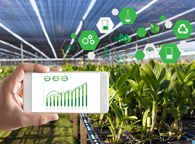
Satellite remote sensing in agriculturerefers to the comprehensive technology of agricultural applications such as using agriculture satellite technologyto investigate agricultural resources, analyzing land using status, monitoring agricultural pests and diseases, as well as estimating crop yields.
CONTENT OF AGRICULTURAL REMOTE SENSING SERVICE PRODUCT SYSTEM OF CGSTL
|
Product name |
Service frequency |
|
|
1 |
Distribution of cultivated land resources and agricultural facilities |
Once a year |
|
2 |
Crop planting structure monitoring |
Once/crop season |
|
3 |
Crop growth monitoring |
Once/ten days |
|
4 |
Farmland soil moisture and crop drought monitoring |
Once/ten days |
|
5 |
Agricultural disaster monitoring |
On demand |
|
6 |
Crop yield prediction |
Once/crop season |
Chang GuangSatellite Technology Co., Ltd. is a satellite supplier, we provide agriculture satellite imagery, satellite imaging in agriculture, agriculture land images, agriculture satellite images, agriculture images, satellite imagery in agriculture, satellite in agriculture, agriculture satellite data, satellite communication service, etc. For more information, please feel free to contact us!
Send product request
Other supplier products
 |
SATELLITE MISSION PLANNING | CONSTELLATION MISSION PLANNING SYSTEM SATELLITE MISSION PLANNING SOFTWARE FEATURES 1 The constellation mission planning system can accept the sh... |
 |
Satellite Remote Sensing | Remote sensing is a non-contact, long-distance detection technology. Relying on the unique global data set of JL1, using our big data intelligence ... |
 |
SATELLITE GROUND SYSTEMS | The mission of the ground satellitesystem is to track, measure and control the earth resources satellite, implement functional management, and rece... |
 |
Satellites Testing Services | The satellite communication testing services of CGSTL mainly consist of optical manufacture, satellite testing, and customized service. CHANGGUA... |
 |
GREENBELT SATELLITE REMOTE SENSING | Greenbelt grass remote sensingis a technology that is used to detect and analyze the type distribution and biomass of grassland resources. Jilin... |
Same products
 |
JL1 Satellite Manufacturing Product | Seller: Chang Guang Satellite Technology Co., Ltd. | Based on "the integration of satellite-borne" and other core technologies, CGSTL has set up the c... |
|
|
Satellites Testing Services | Seller: Chang Guang Satellite Technology Co., Ltd. | The satellite communication testing services of CGSTL mainly consist of optical manufacture, sate... |
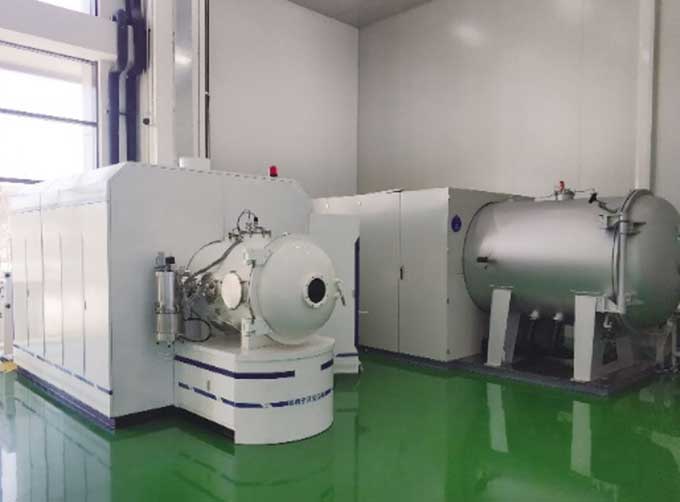 |
SATELLITE TESTING SERVICE | Seller: Chang Guang Satellite Technology Co., Ltd. | A key test satelliteprocedure in qualifying a satellite for launch. Component-level Thermal-vacu... |
 |
JL1 Satellite Services | Seller: Chang Guang Satellite Technology Co., Ltd. | The technical index and function mode in terms of satellites research are taking the leading posi... |
 |
Satellites Data Service | Seller: Chang Guang Satellite Technology Co., Ltd. | At present, JL1 constellation has 72 on-orbit satellites in space and more than 5,000,000 square ... |